Hydrology Modes
HydraStorm supports three mutually exclusive project-wide hydrology modes. The active mode is set in Project Settings > Hydrology and applies to every structure in the network. Each mode controls how peak design flows are determined at each node.
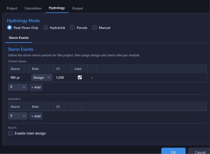
Peak Flows Only (Default)
The simplest mode. You enter peak design flows directly at each structure node, with no rational method computation and no basin data required. This is ideal when flows have already been computed externally, provided by a drainage report, or pulled from another modeling tool.
Enter flows in the Hydrology Table or the Q field in the Property Panel.
HydraLink
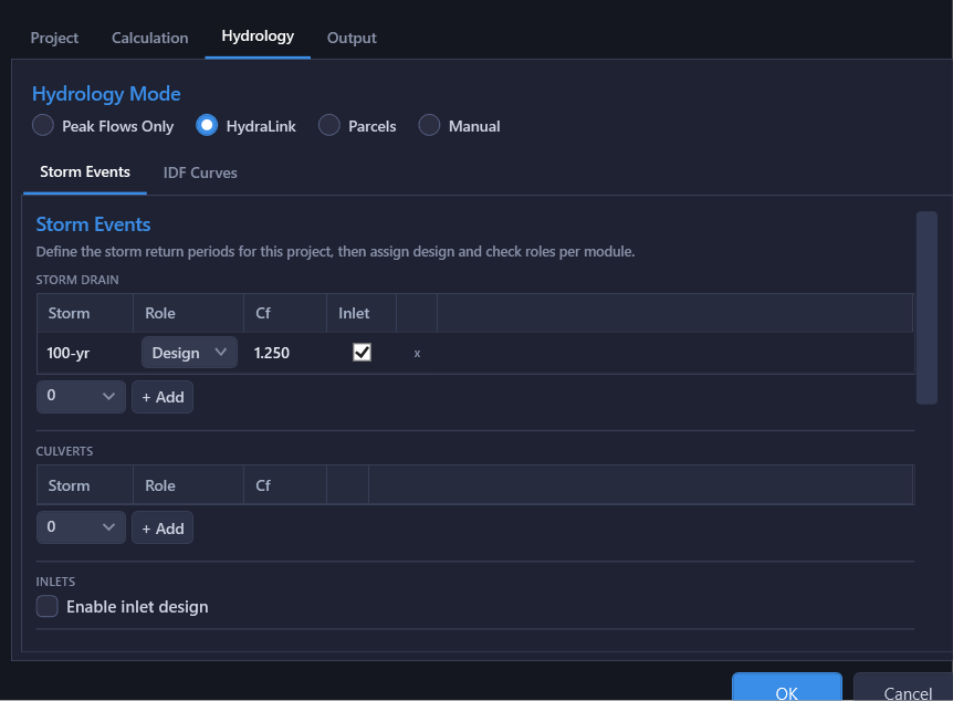
Import basin parameters (drainage area, runoff coefficient C, time of concentration Tc) and computed flows from a linked HydraLink project (.hyd). HydraStorm matches HydraLink basins and junctions to pipe network structures by name, then by spatial proximity when names do not match.
This mode supports live file watching: when the linked HydraLink file changes on disk, HydraStorm prompts you to reload the updated data. See the HydraLink Integration page for full details on the matching pipeline and setup workflow.
Import Basis
HydraLink mode has two mutually exclusive bases, selected under Import Basis in the HydraLink Integration block of Project Settings. They decide whether HydraStorm computes Q itself or accepts HydraLink's solved numbers:
- Basin Parameters: the link supplies C, A, and Tc per structure and HydraStorm runs its own rational accumulation, re-pricing every structure at its system Tc. This mode is rational, so directly entered or imported peak flows contribute nothing (see below).
- Peak Flows: HydraLink's published flows drive the network directly. There is no rational accumulation and no IDF data is needed; the flows accumulate downstream exactly as they do in Peak Flows Only mode, so each structure's Q stays the number HydraLink reported.
The linked plan constrains the choice only where one basis is impossible: a routed model containing ponds forces Peak Flows (only a routed solve is valid downstream of storage), and a plan with no published results yet has no flows to offer, so it forces Basin Parameters. Once HydraLink has published results for the plan, either basis is open (subject to the pond rule), whether the link reads them from a .hyd or from a .hlresults file directly. See Import Basis for the full rules, including how the two accountings differ where basins with different Tc meet and what happens when a pond appears in or leaves the linked model.
A pond and a rational accumulation cannot coexist: if a pond that this network continues below turns up while the project is on Basin Parameters, HydraStorm refuses to calculate rather than pricing structures below it on un-attenuated flow. See Import Basis for when this applies and the remedy (solve the plan in HydraLink so the routed outflow can be read from its results, instead of deleting the pond).
Manual
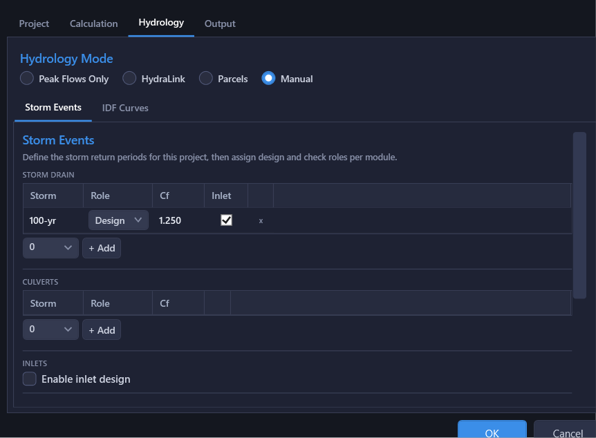
Full rational method computation with user-entered area, C, and Tc per node. All parameters are entered directly in the Hydrology Table.
Manual mode is well suited for quick parametric studies, preliminary design, or any project where you want direct control over the drainage area inputs.
Mode Conversion
Any hydrology mode can be converted to Manual at any time. Area, C, and Tc already live on the node regardless of mode. Switching to Manual doesn't copy them anywhere, it just breaks the link to the original data source (the HydraLink file) and makes those fields directly editable instead of import-driven.
Re-linking to a source mode is allowed. There is no confirmation dialog for the mode switch itself; the protection is downstream, at import time: every value the re-link would change goes through the same per-structure review dialog described on the HydraLink Integration page, so nothing is overwritten unseen.
This workflow is useful when you want to start from HydraLink data but then need to tweak individual values for specific nodes without affecting the source data.
Converting a Rational Project to Peak Flows Only
Going the other way, from Manual (or HydraLink on the Basin Parameters basis) to Peak Flows Only, needs a real conversion, because the rational method never stores a flow on the node. Its Q lives only in the calculation result, so a bare mode switch would leave Peak Flows Only accumulating whatever the flow slots already held: a typed number, an old import, or nothing. When you click OK with the mode changed this way and at least one structure carries drainage area, HydraStorm opens a review dialog listing every such structure with the flow it is about to store per storm, and offers three choices:
- Convert Flows: writes each structure's own basins' peak, Cf × C × i at that structure's inlet time × A, into its flow slot for every storm the project runs (design and check both). Rows already holding a different typed or imported value are highlighted; uncheck a row to keep its stored value. Undo restores the previous flows.
- Keep Existing Flows: switches modes without writing anything.
- Cancel: stays in the current hydrology mode; every other change you made in Project Settings still applies.
The converted flows are not the rational trunk flows. Once converted, the flows no longer respond to C, A or Tc edits.
The conversion is refused, with the reason shown in the dialog, when a configured storm has no intensity source in the IDF data. Structures with no drainage area are never touched: an empty slot stays empty rather than becoming a zero.
Note: The hydrology mode affects the entire project: all structures use the same mode. You cannot mix Peak Flow and Rational Method within one project.
What a Directly Entered Flow Means in Each Mode
Peak flows live on the node whichever mode you are in, but only some modes read them:
- Peak Flows Only, and HydraLink on the Peak Flows basis: the entered or imported flow is the design flow. It accumulates downstream through the network.
- Manual, and HydraLink on the Basin Parameters basis. These are rational modes, and the rational accumulation is pure: Q comes from ΣCA · Cf · I alone. A flow typed at a node or left behind by an earlier import contributes nothing, and HydraStorm names every such node in one calculation warning rather than silently dropping it.
This matters when you convert a project from Peak Flows Only to Manual, or switch a HydraLink project from Peak Flows to Basin Parameters: the old per-node flows stay on the nodes but stop driving the design, so computed Q drops to whatever the basin parameters produce. Clear the leftover flows, or represent the off-site contribution as drainage area and C. See What Enters the Rational Accumulation.
Mode Comparison
| Feature | Peak Flows Only | HydraLink | Manual |
|---|---|---|---|
| Rational method | No | Basin Parameters basis only | Yes |
| IDF data required | No | Yes on the Basin Parameters basis (supplied by the linked file); not needed on Peak Flows | Yes |
| Data source | User entry | .hyd / .hlresults | User entry |
| Directly entered flows drive Q | Yes | Peak Flows basis only | No |
| Tc accumulation | N/A | Basin Parameters basis only | Yes |
| Live file watch | No | Yes | No |
| Convertible to Manual | Yes | Yes | N/A |